 Кургани з космосуKurgans from space
Під полями Черкащини ховаються сотні давніх могил, про які ніхто не знає. Ми знайшли їх з космосуHundreds of forgotten ancient graves hide in Ukraine's fields. We found them from space
Кургани — це насипи над могилами вождів і воїнів, яким до шести тисяч років. Колись їх були десятки тисяч. Сьогодні їх тихо зрівнює трактор, а в реєстрах значиться лише крихітна частка. Ми навчили комп'ютер знаходити їх на безкоштовних супутникових знімках.Kurgans are mounds raised over the graves of chiefs and warriors, up to six thousand years ago. There were once tens of thousands. Today tractors quietly flatten them, and only a tiny share appear in any register. We taught a computer to find them in free satellite images.
Як шукати могилу з орбітиHow to spot a grave from orbit
Весною поле — голе й коричневе. Але на кургані трактор не оре: там лишається трава чи кілька дерев. Із супутника це виглядає як маленький зелений острівець посеред ріллі. Саме такі острівці й шукає наша модель на знімках Sentinel-2 за вісім років.In spring a field is bare and brown. But tractors don't plough the mound itself: grass or a few trees survive there. From a satellite it looks like a small green island in the middle of ploughland. That is exactly what our model looks for in eight years of Sentinel-2 images.
Знайдіть курган: справжні та новіSpot the kurgan: known ones and new finds
Кожен квадрат — ділянка 250×250 м навесні 2025 року (один піксель — 10×10 м), червоне коло — місце, яке ми перевіряємо. Тут найвиразніші приклади з кожної групи. Не всі знахідки виглядають так чітко: частина — ледь помітні плями.Each square is a 250×250 m patch in spring 2025 (one pixel is 10×10 m), the red circle marks the spot we check. These are the clearest examples from each group. Not every find looks this clear: some are faint smudges.
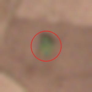
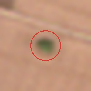
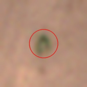
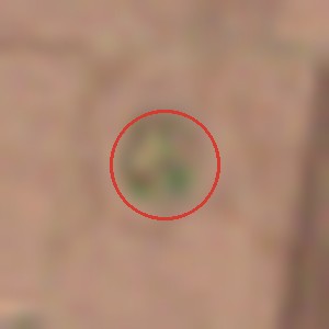
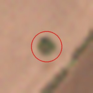
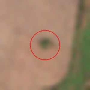
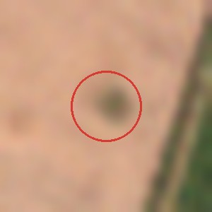
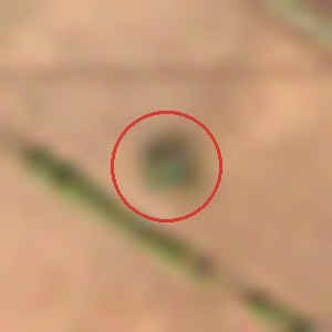
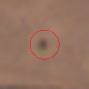
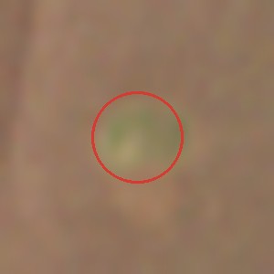
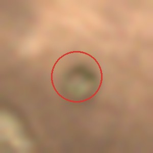
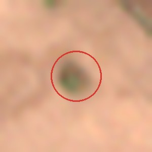
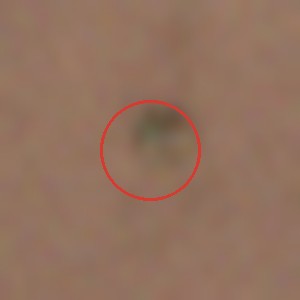
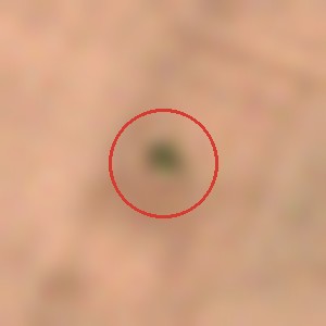
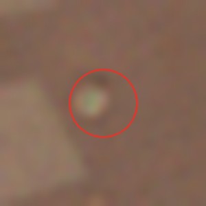
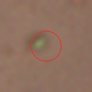
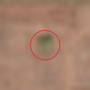
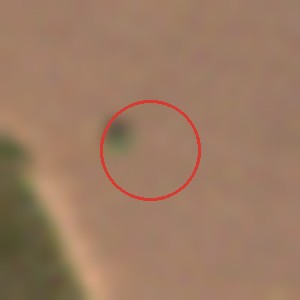
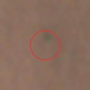
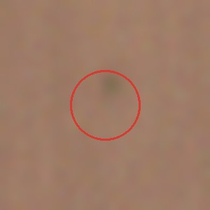
Разом це близько 200 справжніх курганів, яких немає в жодному відкритому реєстрі. Остаточне слово — за археологами на місці.Together that is about 200 real kurgans that no open register lists. Archaeologists on the ground will have the final word.
Тепер ваша черга: знайдіть курганYour turn: find the kurgan
Десять знімків. На одних — справжні кургани, на інших — порожнє поле, на третіх — наші нові знахідки, яких ще ніхто не перевіряв. Чи є курган у червоному колі?Ten images. Some show real kurgans, some an empty field, and some our new finds that nobody has checked yet. Is there a kurgan inside the red circle?
Курган у колі?A kurgan in the circle?
Чому саме тут: земля скіфівWhy here: Scythian land
Знахідки зосереджені в долині Тясмину, на Чигиринщині й Кам'янщині. Тут стояло Мотронинське городище — одне з найбільших скіфських поселень, довкола якого археологи нарахували близько 80 курганів. Поряд — скіфські поховання біля Жаботина й Михайлівки. А біля багатьох наших найсильніших знахідок на радянських картах 1970-х стоїть позначка «курган»: півстоліття тому їх ще бачили топографи.The finds cluster in the Tiasmyn valley, around Chyhyryn and Kamianka. This is where the Motronynske hillfort stood, one of the largest Scythian settlements, with about 80 barrows counted around it. Scythian burials have also been dug near Zhabotyn and Mykhailivka. And next to many of our strongest finds, Soviet maps from the 1970s carry a "kurgan" mark: half a century ago, surveyors still saw them.
Досліджуйте саміExplore it yourself
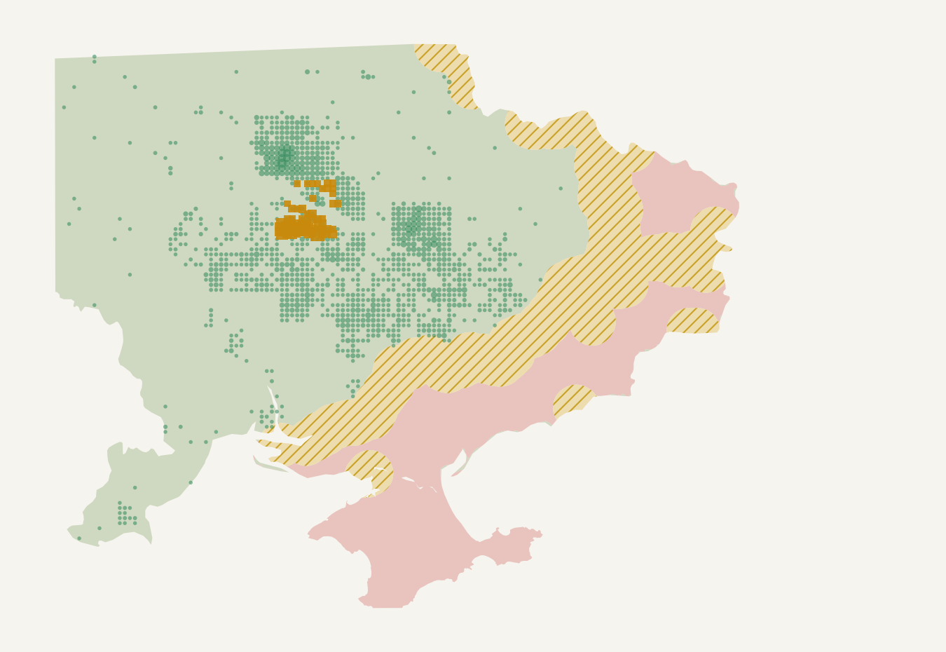
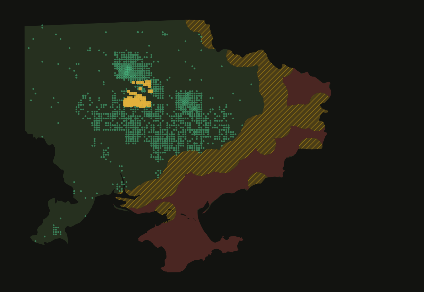
Зелені точки — відомі кургани з відкритих даних: натисніть, і карта наблизиться до справжнього кургану на детальному знімку. Жовті квадрати 10×10 км — де ми знайшли нові ймовірні кургани: натисніть, щоб побачити, як вони виглядають. Пунктирний прямокутник — район, який вручну обстежила експертна група AARG.Green dots are known kurgans from open data: tap one and the map flies to the real mound on detailed imagery. Yellow 10×10 km squares are where we found new likely kurgans: tap to see what they look like. The dashed rectangle is the area the AARG expert group surveyed by hand.
Нові знахідки показано лише квадратами, без точних місць. Знімок: Esri World Imagery.New finds are shown only as squares, never as exact spots. Imagery: Esri World Imagery.
Як курган зникає просто на очахWatch a kurgan disappear
Ми щороку переглядаємо кожен відомий курган. Ось один із Черкащини, підтверджений археологами. У 2017 році — темний зелений острівець посеред ріллі. Потім плуг щороку зрізає його краї: у 2020-му лишилася темна цятка, у 2022-му на її місці — світла пляма свіжозораного ґрунту, а сьогодні — лише слід. Тисячоліття простояв, а зник за кілька сезонів.Every year we look at every known kurgan again. Here is one from Cherkasy oblast, confirmed by archaeologists. In 2017 it is a dark green island in the middle of ploughland. Then the plough cuts into its edges every year: by 2020 only a dark dot is left, in 2022 there is a pale patch of freshly ploughed soil, and today just a trace. It stood for thousands of years and was gone in a few seasons.

Лише на Черкащині з 2017 року так «зникли» 36 курганів, а ще на 26 з'явилися свіжі голі плями — можливі сліди копання чи робіт. Чи працює цей метод? Перевірили: зелений острівець ми бачимо в 72% курганів, які археологи позначили як цілі, і лише у 2,5% розораних.In Cherkasy oblast alone, 36 kurgans have "vanished" like this since 2017, and 26 more show fresh bare patches, possible signs of digging or works. Does the method work? We checked: we see the green island on 72% of mounds archaeologists recorded as intact, and on only 2.5% of ploughed ones.
Війна і кургани: на окупованих землях ознак пошкоджень утричі більшеWar and kurgans: three times more damage signs on occupied land
Ми порівняли кургани на вільній і окупованій території (без смуги 30 км біля фронту): скільки з тих, що були цілими до 2021 року, відтоді зникли чи отримали свіжу пляму розкопу.We compared kurgans on free and occupied territory (without the 30 km belt near the front): of those still intact by 2021, how many have since vanished or gained a fresh dug patch.
На 1 000 курганів з 2022 року; рамка показує межі похибки.Per 1,000 kurgans since 2022; the frame shows the margin of error.
Що даліWhat's next
- Показати знахідки археологам і обласним органам охорони спадщини, щоб перевірити їх на місці.Show the finds to archaeologists and regional heritage officials, so they can be checked on the ground.
- Подивитися на ці поля очима шпигунського супутника 1970–80-х: розсекречені американські знімки KH-9 показують кургани ще до десятиліть оранки.Look at these fields through a 1970s–80s spy satellite: declassified US KH-9 photos show the mounds before decades of ploughing.
- Розширити пошук на інші області.Extend the search to other oblasts.
Точні координати передаємо лише фахівцям з охорони спадщини. Біля фронту й на окупованих землях жодних польових робіт не пропонуємо.Exact locations go only to heritage professionals. We propose no fieldwork near the front or on occupied land.